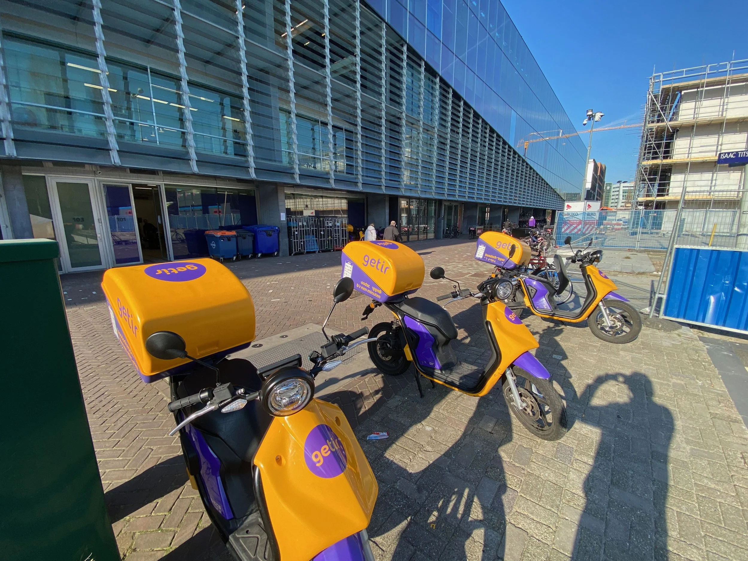
Since the end of the pandemic, my daily bike commute through Amsterdam has become a lot more colorful and crowded with the many Flitsbezorgers (delivery bikes) fulfilling orders within 10 minutes or less. Where do all these flash delivery services come from? The large currier bags branded “Gorillas, Getir, Flink, and Zapp” made it easy to find them in iTunes or Google Play app stores, but finding these actual grocery depots was another matter.
Zoom in / out on the interactive Dark store map below.
Welcome to the era of groceries on demand.
If you haven’t heard the term by now, “Darkstores” are essentially unmarked warehouses in residential areas. They are called “Darkstores” because the windows are usually taped with black plastic and are not open to the public. Because these centers are unlike supermarkets, a municipal permit is not required. Amsterdam has capped the number of dark stores to a max of 50 for the time being to allow authorities to come up with a policy about how and where they are welcome in the city.
In this interactive ‘Dark Map of Amsterdam’s Dark Stores’ we looked up the many physical locations registered on the KvK website (Dutch Chamber of Commerce). Using a Mapbox API we are able to overlap the 10minute delivery zones with the existing city bike paths (in pink).
By toggling various dark stores on and off we clearly see the saturation of ‘on demand’ grocery delivery in Amsterdam. The goal of the map is to also help consumers choose flash delivery apps based on proximity in hopes to calm some inner city bike routes.
Proactive Design
A couple months ago, Marc Kruyswijk wrote a great article for Het Parool entitled “Amsterdam is the breeding ground for Airbnb, Uber and Gorillas, but is always too late to prevent excesses”. In this article Kruyswijk describes the many unintended side effects of municipalities not being able to keep pace with developments. Innovative startups and venture capital behind companies like AirBnB and Uber can often find loopholes to exploit governments who are often stuck mitigating risks and / or retroactively designing policy to keep cities safe, fair and livable. In short, municipalities take a lot more time and effort compared to the fast paced world of Amazon Prime and other delivery platforms.
In the same article, advisor on disruption Martijn Stekelenburg explains “It is important that municipalities get their affairs in order because we will see many new technological developments in the coming years. In particular when it comes to employment, housing, transport and transport, and energy, major changes will occur until 2030 that will affect the daily lives of residents.
Everyday Tapp works with civil servants and other municipal innovators who try and solve these wicked problems before it becomes too big or too complicated. By visualizing the complexity for example, we can easily share the legal, socio-economic and spatial complexity with the general public. In the case of the Dark Store Map we explore the geo-spatial impacts on our busy bikeways in hopes to keep Amsterdam livable and accessible.
Interested in future city making?
Interested in urban sensing, data visualization or future city making processes please get in touch with Tom van Arman, Founder of Tapp - Smart City Architecture.
Many thanks to Lujein Al Sheikh for her amazing work on the data visualization.


